
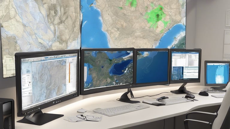
Training on Geographical Information System
Unlock the world of geospatial intelligence! Join Indaca Institute of Skills to master fundamental to advanced GIS techniques. Elevate your expertise in spatial analysis, mapping, and data visualization!
Fundamentals of QGIS
Purchase Options:
Business Intelligence with QGIS
Purchase Options:


Mobile GIS and GPS
Purchase Options:
GIS and RS for Urban Planning
Embark on a transformative journey into urban geospatial excellence with Indaca! Our Urban GIS Workshop is designed to empower you with practical skills in QGIS and remote sensing, tailored for urban planning applications. From mapping urban growth to analyzing accessibility and site suitability, unlock the tools and techniques to shape smarter, more sustainable cities. Join us and take the first step toward becoming a geospatial leader in urban planning. Enroll now and redefine urban landscapes with Indaca!
Purchase Options:


Health GIS & Epidemiological Studies with Open-Source Tools
The growing demand for spatial solutions in healthcare research, disease tracking, and epidemiological modeling makes Health GIS a powerful tool for public health professionals, researchers, epidemiologists, and policy makers. This workshop introduces participants to the principles, tools, and applications of Health GIS using Open Source Software, focusing on real-world case studies and hands-on practice. Whether you're a public health researcher mapping disease spread or a student building your thesis with spatial health data, this training is designed to equip you with the necessary skills, workflows, and datasets to build powerful GIS-based health research projects.
Purchase Options:


Advanced Spatial Data Management & Analysis using QGIS
With the rapid growth of geospatial data across urban, environmental, health, and planning sectors, the ability to manage and analyze spatial data effectively has become a critical skill. This workshop focuses on advanced spatial data management and analytical workflows using QGIS, emphasizing real-world applications and hands-on learning. Participants will learn how to clean and prepare spatial datasets, perform advanced attribute and geometry-based queries, integrate multiple layers through spatial joins, and generate meaningful indicators for decision-making. Designed for students, researchers, and professionals, the workshop equips learners with practical skills and structured workflows to confidently handle complex spatial data using open-source QGIS.
Purchase Options:
contact@indaca.in
Socials
Subscribe to our newsletter
Copyright © 2025 Indaca Institute of Skills, All rights are reserved
WhatsApp: (+91) 9038413517
Call: (+91) 7439308037