Course Highlights
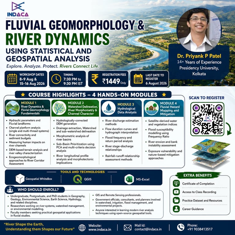
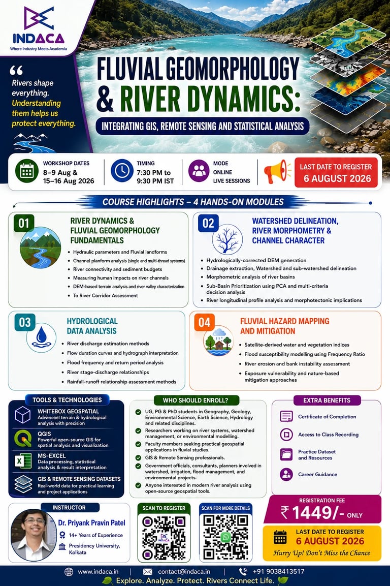
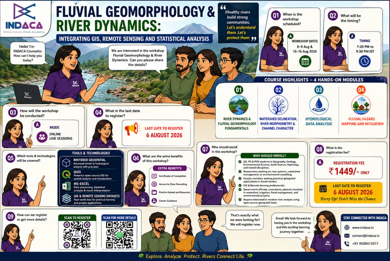
Understand the principles of river dynamics, fluvial geomorphology, and channel processes.
Analyze river planforms, channel morphology, and sediment dynamics using geospatial techniques.
Delineate watersheds and drainage networks from Digital Elevation Models (DEMs).
Perform river basin morphometric analysis and prioritize sub-basins using statistical and multi-criteria approaches.
Evaluate river longitudinal profiles to interpret geomorphic evolution and morphotectonic influences.
Analyze hydrological datasets, including discharge, hydrographs, flow duration curves, and rainfall-runoff relationships.
Estimate flood frequency and return periods for hydrological risk assessment.
Generate water and vegetation indices from satellite imagery for river monitoring.
Develop flood susceptibility maps using the Frequency Ratio model.
Assess riverbank erosion, channel instability, and river corridor conditions for sustainable management.
Apply eco-geomorphological approaches for river corridor assessment and conservation planning.
Gain practical experience using QGIS, WhiteBox Tools, and MS Excel for river and watershed analysis.
Learn industry-standard workflows used in research, environmental consultancy, watershed management, and disaster risk reduction.
Complete hands-on exercises that can be applied to academic projects, dissertations, research publications, and professional assignments.
Build a strong foundation for advanced studies and careers in Hydrology, GIS, Remote Sensing, Fluvial Geomorphology, Environmental Management, and River Basin Planning.