

Geo-Informatics for Groundwater Dynamics
Master groundwater dynamics with hands-on tools and expert guidance
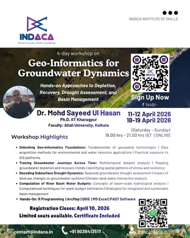
Hands-on Approaches to Depletion, Recovery, Drought Assessment, and Basin Management
Dates: 11-12 April and 18-19 April, 2026
Time: 7:00 PM – 9:00 PM IST | Saturday and Sunday
Instructor: Dr. Mohd Sayeed Ul Hasan, Ph.D. IIT Kharagpur and Faculty Member, Aliah University, Kolkata.
Organized by: Indaca Institute of Skills
Registration Closes: April 10, 2026
Mode: Online (via Zoom) - English
About Our Workshop
Unlocking Geo-Informatics Foundations: Fundamentals of geospatial technologies | Data acquisition methods for environmental and water resource applications | Practical exposure to GIS platforms
Tracing Groundwater Journeys Across Time: Multitemporal dataset analysis | Mapping groundwater depletion and recovery trends | Identifying spatial patterns of stress and resilience
Decoding Subsurface Drought Dynamics: Seasonal groundwater drought assessment | Impact of land use changes on groundwater systems | Climate–land–water interaction analysis
Computation of River Basin Water Budgets: Concepts of basin-scale hydrological analysis | Computational techniques for water budget estimation | Strategies for integrated and sustainable basin management


Who Should Enroll?
Students in Civil Engineering, Environmental Science, Geography, Geology
Researchers and PhD scholars working in water resources or climate studies
Professionals in GIS, remote sensing, and environmental consulting
Government/NGO professionals involved in water management & policy
Anyone looking to build practical skills in groundwater analytics
FAQs
Who should enroll?
This workshop suits intermediate to advanced learners in groundwater studies.
What tools are used?
We focus on hands-on use of geo-informatics software for real-world groundwater analysis.
How is the workshop structured?
The workshop spans four days, combining lectures, practical sessions, and case studies to deepen your understanding.
Are recordings available?
Yes, all sessions will be recorded and accessible after the workshop ends.
How do I register?
Click the 'register now' button and follow the payment instructions to secure your spot.


Contact Us
Have questions? Reach out anytime for workshop details.
Contacts
contact@indaca.in
Socials
Subscribe to our newsletter
Copyright © 2025 Indaca Institute of Skills, All rights are reserved
WhatsApp: (+91) 9038413517
Call: (+91) 7439308037