

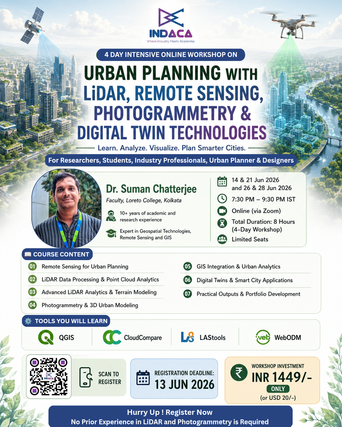
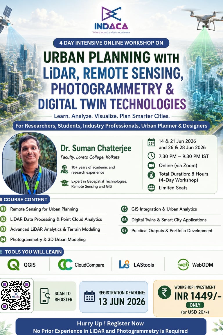
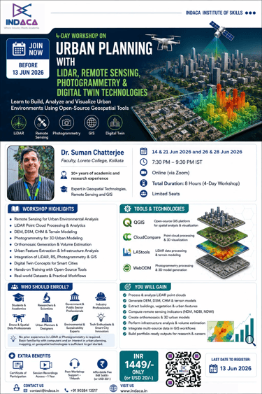
Urban Planning with LiDAR, Remote Sensing, Photogrammetry & Digital Twin Technologies
Learn to Build, Analyze and Visualize Urban Environments Using Open-Source Geospatial Tools
Dates: 14 & 21 June, 26 & 28 June 2026
Time: 7:30 PM - 9:30 PM (IST) | Weekends
Mode: Online (via Zoom)
Instructor: Dr. Suman Chatterjee, Faculty, Loreto College, Kolkata
Limited seats available – Register before 13th Jun 2026
Course Highlights
Build, Analyze and Visualize Urban Environments Using Open-Source Geospatial Tools
Course Content
Remote Sensing for Urban Planning
Learn how satellite imagery is used to monitor urban growth, environmental conditions, and land use dynamics. Explore key urban indicators and create actionable planning insights using multispectral data.
LiDAR Data Processing & Point Cloud Analytics
Understand LiDAR technology and work with real-world point cloud datasets. Learn visualization, classification, feature extraction, and urban infrastructure mapping techniques.
Advanced LiDAR Analytics & Terrain Modeling
Generate and analyze DEMs, DSMs, and Canopy Height Models (CHMs). Extract building heights, assess urban terrain, and perform infrastructure and vegetation analysis.
Photogrammetry & 3D Urban Modeling
Create orthomosaics and realistic 3D urban models from imagery. Learn Structure-from-Motion (SfM) workflows and integrate photogrammetry outputs with GIS datasets.
GIS Integration & Urban Analytics
Combine Remote Sensing, LiDAR, and Photogrammetry products within QGIS. Perform visualization, spatial analysis, terrain assessment, and urban planning workflows.
Digital Twins & Smart City Applications
Explore how modern cities use Digital Twin technologies for infrastructure management, planning, monitoring, and data-driven decision making.
Practical Outputs & Portfolio Development
Develop industry-relevant outputs including urban land cover maps, LiDAR-derived models, 3D city models, and GIS-ready datasets suitable for academic, research, and professional portfolios.
Tools You Will Learn
Gain hands-on experience with powerful open-source geospatial tools widely used in urban planning, GIS, remote sensing, LiDAR analytics, and 3D modeling.
QGIS
Visualize, analyze, and integrate geospatial datasets including satellite imagery, LiDAR products, and photogrammetric outputs for urban planning applications.
CloudCompare
Process and analyze LiDAR point clouds, perform classification, measurements, filtering, terrain profiling, and 3D visualization.
LAStools
Work with LiDAR datasets to generate DEMs, DSMs, Canopy Height Models (CHM), and perform point cloud processing and feature extraction.
WebODM
Generate orthomosaics, digital surface models, point clouds, and 3D reconstructions from aerial and drone imagery using photogrammetry workflows.
No prior experience required | Learn by doing | Work on real datasets.
FAQs
When is the workshop?
The workshop runs on 14 & 21 June, 26 & 28 June 2026
What are the timings?
Sessions take place from 7:30 pm to 9:30 pm on each workshop day.
Who should enroll here?
Anyone interested in urban planning, LiDAR, photogrammetry, 3D modeling, or spatial tech looking to build practical skills.
What tools will I learn?
You’ll work with open-source software tailored for LiDAR, photogrammetry and 3D modeling.
How do I register?
Register before Jun 13, 2026, to secure your spot in this hands-on workshop.
Process and analyze LiDAR point clouds
Generate DEM, DSM and CHM products
Extract building and vegetation information
Compute urban remote sensing indicators
Perform terrain and infrastructure analysis
Create orthomosaics and 3D city models
Integrate LiDAR, Remote Sensing and Photogrammetry outputs within GIS workflows
What You will Gain?


Master skills for Urban Planning with LiDAR, Remote Sensing, Photogrammetry & Digital Twin Technologies
Join this 4-day hands-on workshop and learn how modern cities are mapped, analyzed, and visualized using LiDAR, Remote Sensing, Photogrammetry, and GIS. Build practical skills with open-source tools and create portfolio-ready outputs. Limited seats available – Register before 13 June 2026.
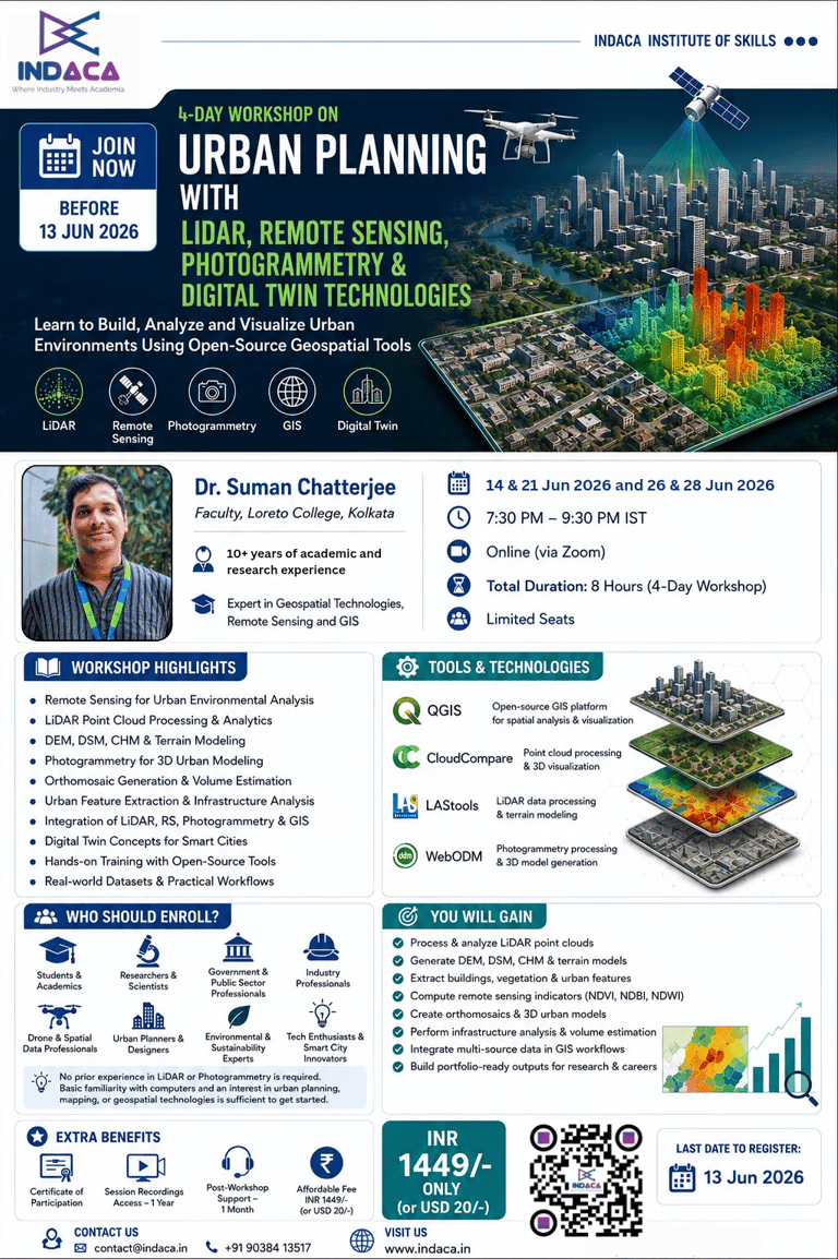
Get in Touch
Questions? We're here to help you register.


contact@indaca.in
Socials
Subscribe to our newsletter
Copyright © 2025 Indaca Institute of Skills, All rights are reserved
WhatsApp: (+91) 9038413517
Call: (+91) 7439308037