

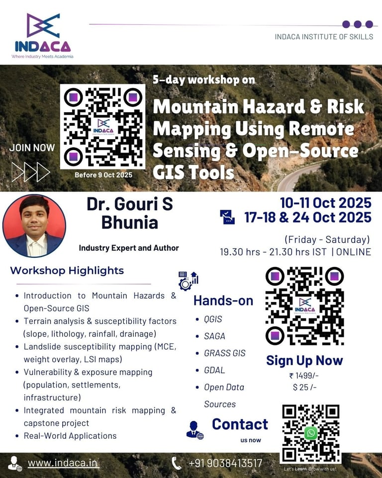
Mountain Hazard & Risk Mapping Using Remote Sensing & Open-Source GIS Tools
Master Practical Skills in Remote Sensing & Open-Source GIS for Mountain Hazard and Risk Assessment.
Dates: Oct 10-11 and Oct 17-18 & Oct 24, 2025
Time: 7:30 PM - 9:30 PM (IST) | Friday and Saturday
Mode: Online (via Zoom)
Instructor: Dr. Gouri Sankar Bhunia, RS and GIS Expert with 16+ years of industry experience
Registration Closes: October 9, 2025
What You’ll Gain
In-depth understanding of mountain hazards and slope movement processes
Step-by-step training in terrain analysis and susceptibility factor preparation
Practical experience in landslide susceptibility and risk zonation mapping
Exposure to open datasets (DEM, rainfall, geology, LULC, OSM)
Skills to create vulnerability and exposure maps using population and infrastructure data
Ability to integrate hazard, vulnerability, and exposure for comprehensive risk assessment
Confidence to export and publish professional-quality maps for reports and research
Who Should Enroll?
Researchers & Academics: In environmental science, geography, agriculture, hydrology, and disaster management
University faculty and students working on mountain ecosystems
Students & Scholars: Pursuing projects in remote sensing, GIS, or environmental monitoring.
GIS professionals in consulting, government, and NGOs
Disaster management practitioners and planners
Anyone keen to apply open-source geospatial tools for hazard & risk mapping
Tools Covered
QGIS (LTR version) – primary GIS platform
SAGA & GRASS GIS – advanced terrain and hydrology analysis
QuickMapServices – basemap integration
QuickOSM – extracting settlement and road data
GDAL – raster and vector data processing
Raster Calculator – reclassification and integration of factors
DataPlotly – plotting vulnerability data
QGIS Print Layout/Atlas – professional map design and export
Join Us
Don’t miss the chance to master hazard and risk mapping for mountain environments. Secure your seat today and take your GIS skills to the next level!


Reserve Your Spot
Secure your place in the workshop on mountain hazard mapping before seats fill up.
Registration Closes: October 9, 2025
contact@indaca.in
Socials
Subscribe to our newsletter
Copyright © 2025 Indaca Institute of Skills, All rights are reserved
WhatsApp: (+91) 9038413517
Call: (+91) 7439308037