
Python for Geospatial Science
Save hours daily and unlock powerful tools to solve spatial data challenges efficiently—no prior experience needed!
Dates: May 23, 24, 30, 31 & June 7, 2025
(Fridays & Saturdays)
Time: 7:00 PM – 9:00 PM IST
Mode: Online (Live & Hands-on)
Resource Person: Dr. Subhajit Sarkar, NEHU, Meghalaya
Overwhelmed by Resources? We've Got You Covered!
Streamline your research workflow with practical, focused training. Cut through the complexity of geospatial tools and techniques effortlessly.
Boost Project Success
Guaranteed results with our workshop python for geospatial science even without any prior knowledge on coding.
Save Research Time
Save hours of research time and find solutions with our workshop on python for geospatial science.
Save Time and Find Solutions
Project Success Guaranteed


WHAT IF I TOLD YOU...
Master Python for Geospatial Science Save hours daily and unlock powerful tools to solve spatial data challenges efficiently—no prior coding experience needed.
You'll Gain:
Python + Spatial Data Fundamentals: Set Up Environment: Install Anaconda & launch Jupyter Notebooks | Python Basics: Variables, lists, loops, functions | Spatial Concepts: Vector vs Raster | GeoPandas Intro: Load and style shapefiles, add titles & legends
Vector Data Analysis with GeoPandas: CRS & Reprojection: Understand and reproject coordinate systems | Attribute Filtering: Select features based on attributes | Spatial Operations: Buffering, spatial joins, intersects/centroids | Hands-On Mapping: Filter, buffer, and overlay layers
Raster Data + NDVI Computation: Raster Basics: Bands, resolution, extent explained | Rasterio & NumPy: Load GeoTIFFs and compute NDVI | Clip by Mask: Use shapefile to clip rasters | Time-Series Ready: Intro to multi-date analysis using open archives
Interactive Mapping with Folium: Create Web Maps: Build base maps with markers and polygons | Choropleth Maps: Visualize attributes like population or literacy | HTML Export: Save interactive maps for websites or reports
Workflow Automation + Mini Project: Automate Workflows: Batch process shapefiles or rasters | Real Projects: NDVI change detection, accessibility analysis, or thematic mapping | Final Output: Code + maps + optional participant presentation
Do not miss if you are:
Students in Geography, Environmental Science, Urban Planning, Agriculture, and related fields
GIS Analysts and Technicians seeking to enhance their workflow with Python automation
Researchers and Academics working on spatial data analysis and visualization
Beginners in Python Programming with an interest in spatial applications
Educators and Trainers aiming to integrate Python-based GIS in their curriculum
Professionals in Remote Sensing, Planning, and Development sectors
Do not miss! Join our upcoming live session!
This 5-day hands-on workshop is designed to introduce participants to Python programming for geospatial applications. It progressively builds skills in spatial data processing, visualization, and automation using Python libraries like GeoPandas, Rasterio, Folium, and NumPy.


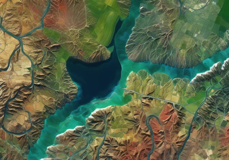
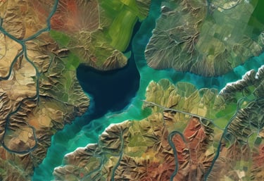
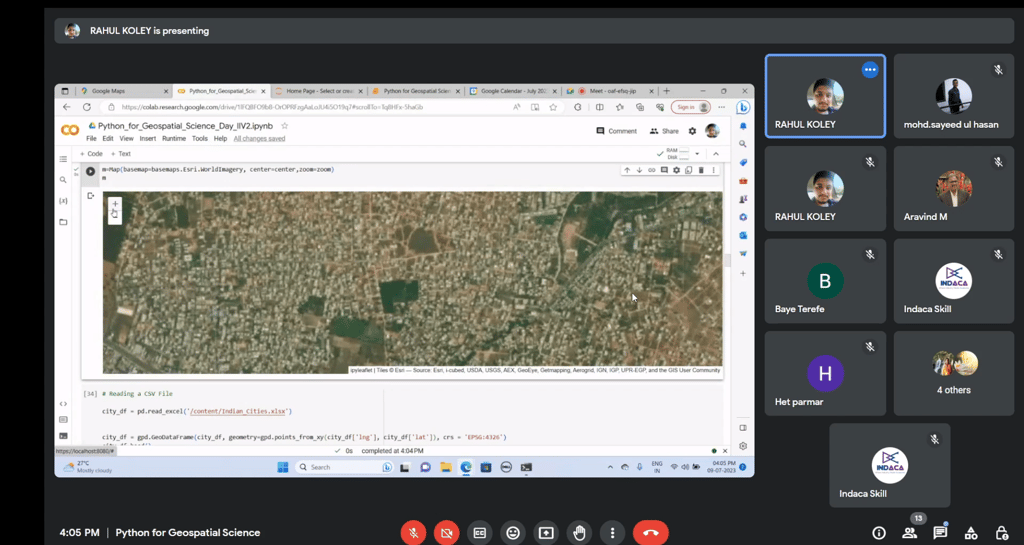
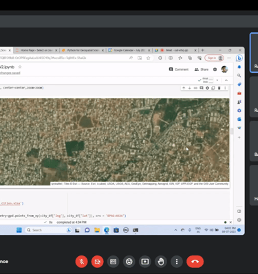
Workshop Gallery
Explore past sessions and learn from experts in Python, GEE and R Software!
Like this training upcoming days should be more training for learning enhancement
Ishtiaq Ahmed, Central University of Punjab, India


★★★★★
The session is awesome
Shrinwantu Raha, Bhairab Ganguly College, Kolkata
★★★★★
Well organized workshop - Bindu K B, Department of Geography, Kannur University
★★★★★
Watch Past Sessions
Can't Wait to Register for upcoming session!
Do not wait! Buy session recordings now!

Contact Us


Have questions about our workshop? Contact us today for more information and to register!
contact@indaca.in
Socials
Subscribe to our newsletter
Copyright © 2025 Indaca Institute of Skills, All rights are reserved
WhatsApp: (+91) 9038413517
Call: (+91) 7439308037